Why Does Cropping History Matter When Buying Farmland?
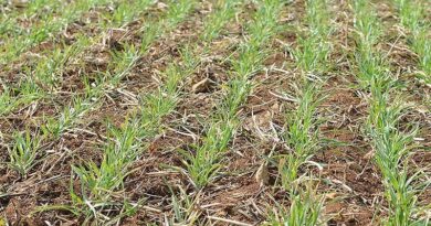
27 July 2023, US: Cropping history information can be valuable for a farmer when deciding whether to purchase farmland available for sale. By understanding the cropping history of a particular piece of land, a farmer gains insights into the types of crops that have been grown on the land in the past and can effectively assess the suitability of the land for their specific farming needs.
For example, if the cropping history indicates that the land has been consistently used for growing a specific crop that aligns with the farmer’s expertise and market demand, it may be a good indication that the land is well-suited for their farming operations. On the other hand, if the cropping history shows a pattern of unsuccessful or incompatible crops, it may raise concerns about the productivity or suitability of the land for the farmer’s intended use.
Additionally, cropping history information can provide insights into the previously implemented management practices on the land, such as the use of fertilizers, pesticides or irrigation. This information can help the farmer assess the potential impact of these practices on the soil health and overall sustainability of the land.
Land Purchase Decision-Making Factors
Keep in mind that while cropping history information can be a valuable tool in the decision-making process, it should not be the sole factor considered. Other factors include:
- Soil quality
- Water availability
- Proximity to markets
- Overall farm infrastructure
- Your financial position
Get Cropping History Information with AcreVision℠ from FBN®
If you’re looking for cropping history information before making a farmland purchase, FBN recently launched a new evaluation tool to help you get the insights you need to make an informed buying decision.
AcreVision, which is available for free to FBN members, is an innovative farmland evaluation system designed to assist farmers in making informed decisions about potential land purchases by providing vital insights into specific farmland parcels. This information includes soil types, comparable sales, terrain information and other details.
This tool shows historical land use and cropping patterns derived from the Cropland Data Layer (CDL) published by United States Department of Agriculture National Agricultural Statistics Service (USDA-NASS). The CDL is a crop-specific land cover data layer created annually using moderate resolution satellite imagery. Land use and cropping history data are updated annually on AcreVision℠ in the first quarter of each calendar year when the USDA makes this data available.
Also Read: ITC releases an exclusive postal stamp on Millets in collaboration with India Post
(For Latest Agriculture News & Updates, follow Krishak Jagat on Google News)