01 February 2022, Haryana: Haryana Chief Minister, Sh. Manohar Lal said that the campaign being run on a large scale for agricultural land mapping work in the state should be accelerated so that the agricultural land data of the state can be made available at the earliest.
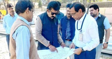
The Chief Minister was presiding over the meeting of land revenue officers regarding large scale land mapping here today. Deputy Chief Minister, Sh. Dushyant Chautala was also present on the occasion.
Land mapping work will be done in three phases
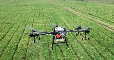
The Chief Minister said that the drone base mapping work of most of the villages of the state has been completed. Like the Svamitva Yojana, the work of mapping the agricultural land of the state will be done and the revenue record will be linked with the Parivar Pehchan Patra. The large scale mapping work will be completed in three phases. In the first phase, the work of mapping the agricultural land of rural areas and mapping of the structures built on it will be done. In the second phase, mapping of industrial areas in the cities will be done. These will help in the measurement work.
Patwaris will be trained with rovers machine
The Chief Minister said that Patwaris will be trained with rovers to do the work of mapping agricultural land. For this, two rovers (GPS) machines each will be purchased and provided at each tehsil level. Every tehsil will be connected with rovers machine so that measurement of fields can be done easily. Continuous Referencing Stations have been established at 19 places in the state. Through these, GPS location can be easily detected within a radius of 500 km in the surrounding area. Apart from this, 16 GIS labs have also been established across the state.
Strong reference points will be set up
The Chief Minister said that due to the work of land mapping at a large level, the information about the land of all the land owners would be clear. Apart from this, the location of the land like schools, shamlati structures, religious places etc. will also be accurate. Apart from this, deep and strong reference points will be made in the area of 25 muraba, which will also determine the location of muraba stone, like those found in villages. People will be able to use these reference points for information. In this way, in the metering of agricultural land, the benefit of metering based on GPS location double technology will be available.
Mapping work will be completed by August 2022
He said that 3 teams were deployed at Panipat, Karnal and Kurukshetra to carry out the land mapping work. Apart from this, more teams will be set up by March 15. In this way, a total of 44 teams will undertake land drone mapping work across the state, which will be completed by August 2022. He said that in the first 5 villages, large scale mapping work was done on trial basis. Now it has been started in the entire state. The Chief Minister said that the present government is coming up with a new system for land reform in the state. Through this only the record of all the agricultural land will be available. He said that a new format has also been prepared for Jamabandi in which the column of PPP has been added. The work of linking agricultural land with PPP will also be done.
Several officers including Additional Chief Secretary and Financial Commissioner, Revenue & Disaster Management and Consolidation Departments, Sh. PK Das, Principal Secretary to Chief Minister, Sh. V Umashankar, Director, Consolidation of Land Holdings & Land Records, Ms. Amna Tasneem were present in the meeting.